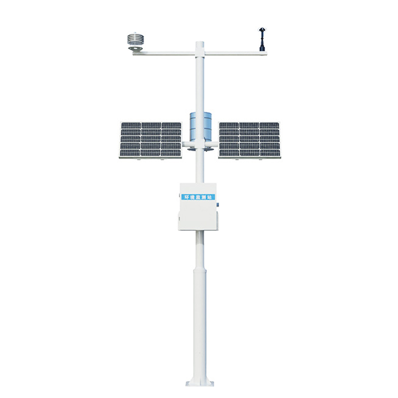
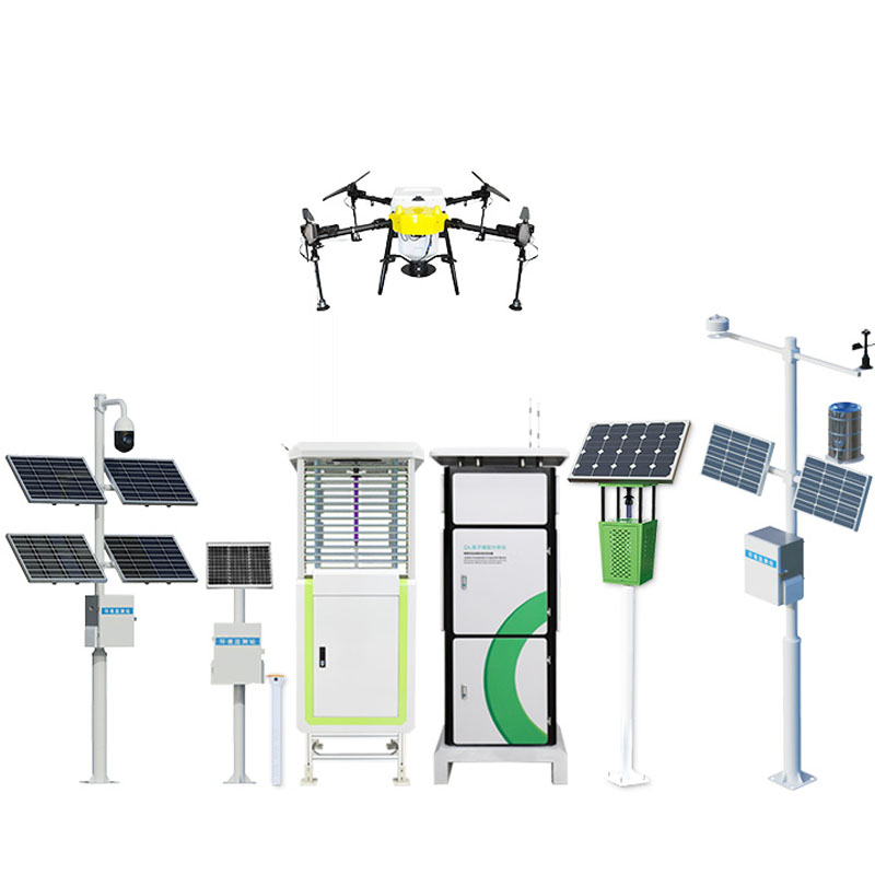
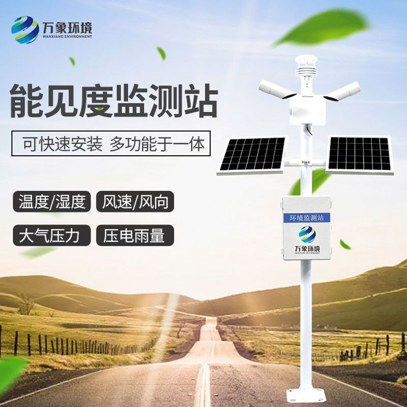
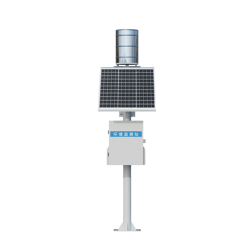
In the vast waters of rivers, lakes and seas, open channels, as an important component of natural water systems and artificial water conveyance facilities, their flow changes directly affect flood control and dispatching, water resource allocation and ecological protection. However, traditional flow measurement methods are often limited by the interference brought by contact measurement, their applicability in complex environments, and the insufficiency of data real-time performance. The emergence of the radar surface flow velocity measurement system, with its advantages of non-contact, high precision and all-weather operation, has become the "intelligent eye" for monitoring the water conditions of open channels.
Traditional flow measurement techniques mostly rely on contact-type devices such as buoys and current meters, which require the instruments to be immersed in water. This not only makes them vulnerable to the impact of water flow and the wear of sediment, affecting measurement accuracy, but also makes it difficult to operate stably in waters with turbid water or a large amount of floating debris. The WX-ML3 radar surface flow velocity measurement system directly calculates the flow velocity by transmitting microwave signals to the water surface and using the Doppler frequency shift of the reflected waves, without any contact with the water body throughout the process. This "distance speed measurement" method completely avoids the physical interference of contact measurement, and is particularly suitable for rivers with fast flow rates and large volumes, or irrigation channels with turbid water quality and dense floating matter.
Open channel water condition monitoring often faces complex environmental challenges: sudden water level rise caused by heavy rain, reduced visibility due to sandstorms, and the impact of heavy rainfall on equipment... Traditional flow measurement systems are prone to data interruption or increased errors in these scenarios. The radar surface flow velocity measurement system, relying on the penetrating property of microwave measurement, can penetrate rain, fog, sand and dust, and work continuously and stably. Even if the water surface fluctuates violently, the system can filter out interfering signals through algorithms and accurately capture the true flow rate. This "all-weather and all-environment" adaptability makes it a reliable choice for open channel monitoring in extreme weather and complex terrains.
The changes in open channel water conditions are often sudden, such as short-term strong currents caused by heavy rain and fluctuations in flow in irrigation district channels, all of which require real-time data to support decision-making. The radar surface flow velocity measurement system, through high-frequency sampling and wireless transmission technology, can achieve second-level updates of flow velocity and water level, and synchronize the data to the monitoring platform. Managers can not only keep abreast of water conditions in real time, but also issue early warnings for excessive flow rates and abnormal water levels based on historical data and threshold Settings, thus buying precious time for flood control dispatching and irrigation control. This closed-loop model of "monitoring - early warning - response" upgrades the traditional "post-event recording" of flow measurement to "pre-event prevention and control".

Article address:
http://m.0757gl.com/en/newcen/1674.html


 Home
Home phone
phone Product Overview
 Contact Us