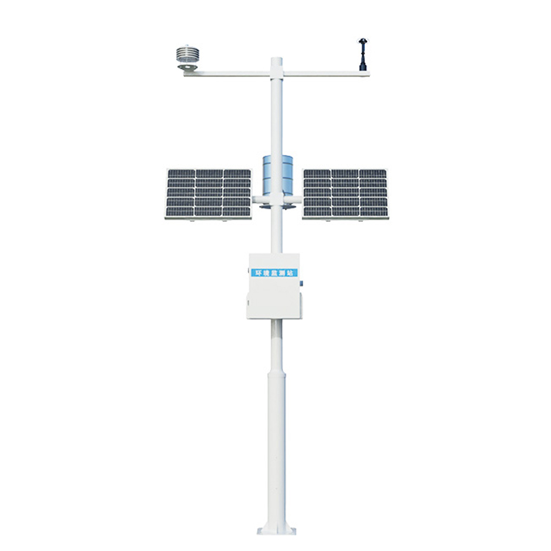
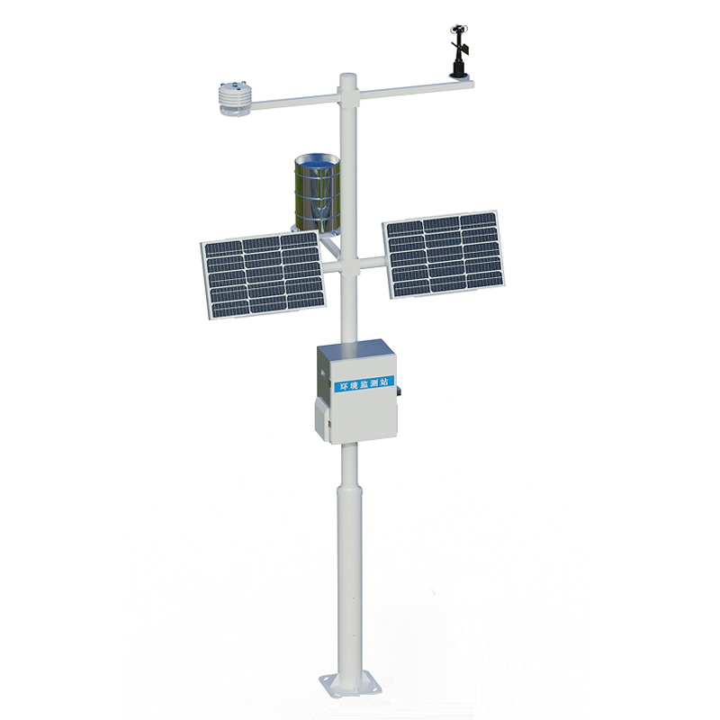
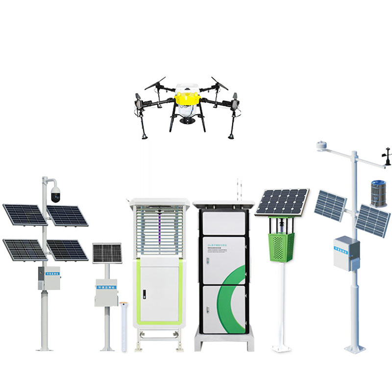
In the vast water system network, the online monitoring system for river water levels is becoming an important line of defense for flood control and drought relief with its continuous observation capabilities. This all-weather monitoring network, like a loyal guardian of rivers, constantly records the rise and fall of water levels, converting intangible natural forces into measurable data trajectories, providing a scientific basis for water resource management.
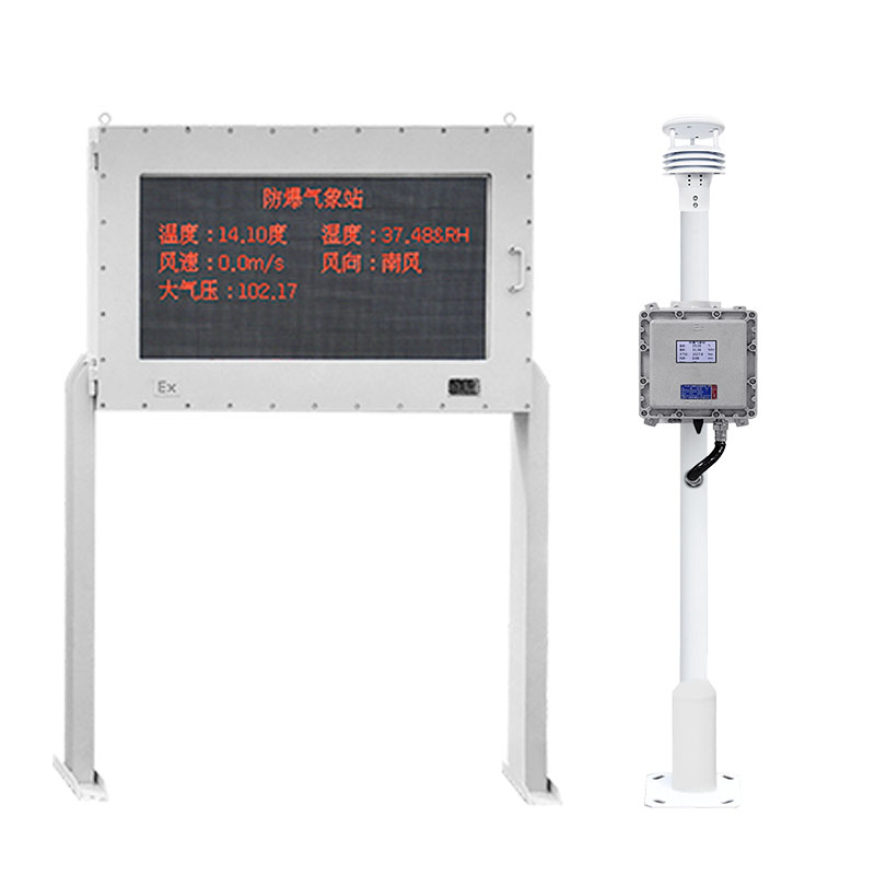
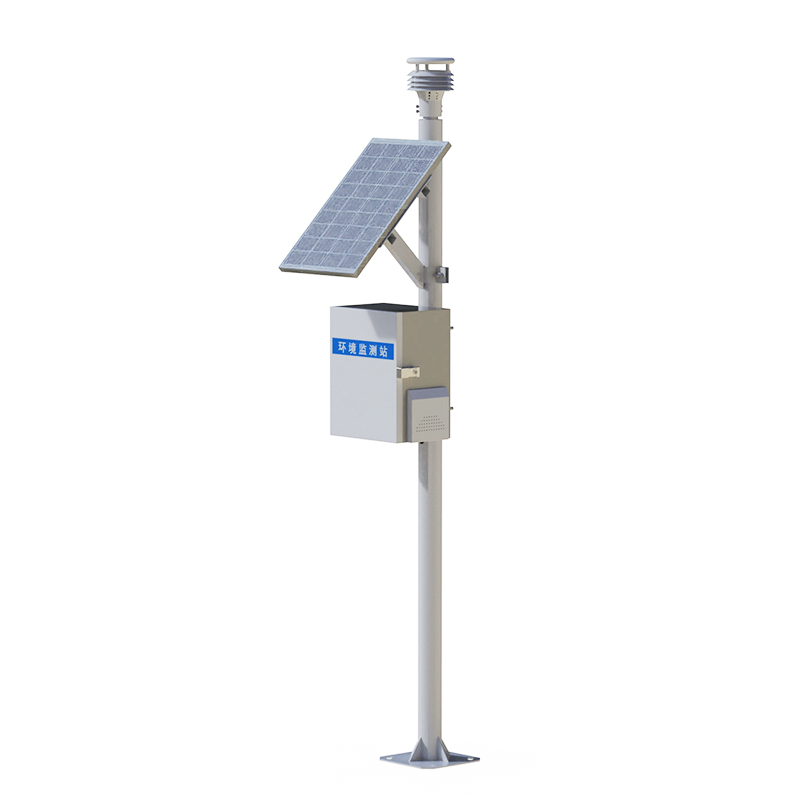
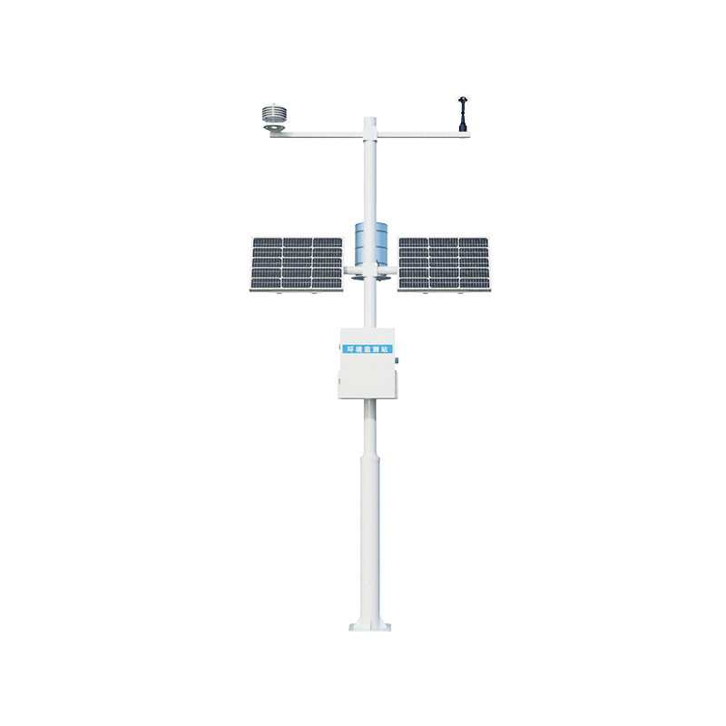
The WX-SW1 river water level online monitoring system, through monitoring terminals distributed in key river sections, can capture subtle changes in water levels and immediately issue an alarm when the water level exceeds the warning line. This early warning mechanism has bought precious emergency preparedness time for the downstream areas. From evacuating the people to reinforcing the embankments, various flood control measures have been carried out in an orderly manner. During the dry season, continuous low water level monitoring is equally important, providing decision support for water resource scheduling.
The continuity of monitoring data demonstrates unique advantages. Traditional manual measurement is limited by time and weather, while an automated system can fully record every detail of water level changes, whether it is the rapid rise caused by heavy rain or the slow fall when the water recedes. These continuous curves not only serve current decision-making but also become fundamental data for studying the hydrological laws of rivers, helping to predict future water level trends.
Intelligent management makes the system more efficient. The monitoring data is transmitted in real time to the command center via wireless network, and water level change charts are automatically generated. Managers can keep track of the water conditions throughout the area through computers or mobile phones. When abnormal situations occur, the system will push warning messages at different levels. This convenience has greatly enhanced the response speed of water situation management, making flood control and drought relief work more precise and powerful.

Article address:
http://m.0757gl.com/en/article/1749.html


 Home
Home phone
phone Product Overview
 Contact Us