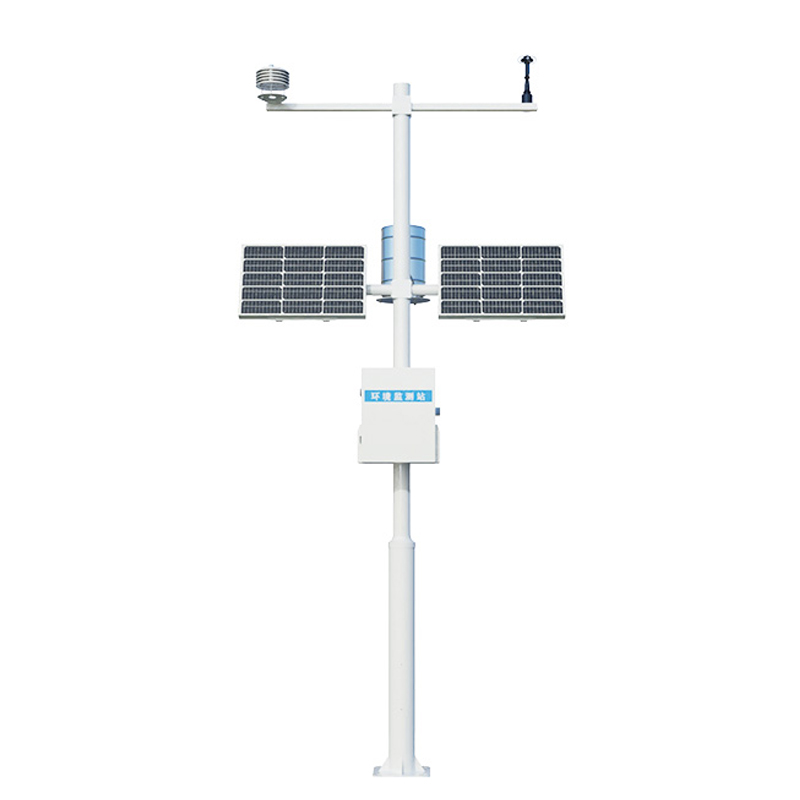
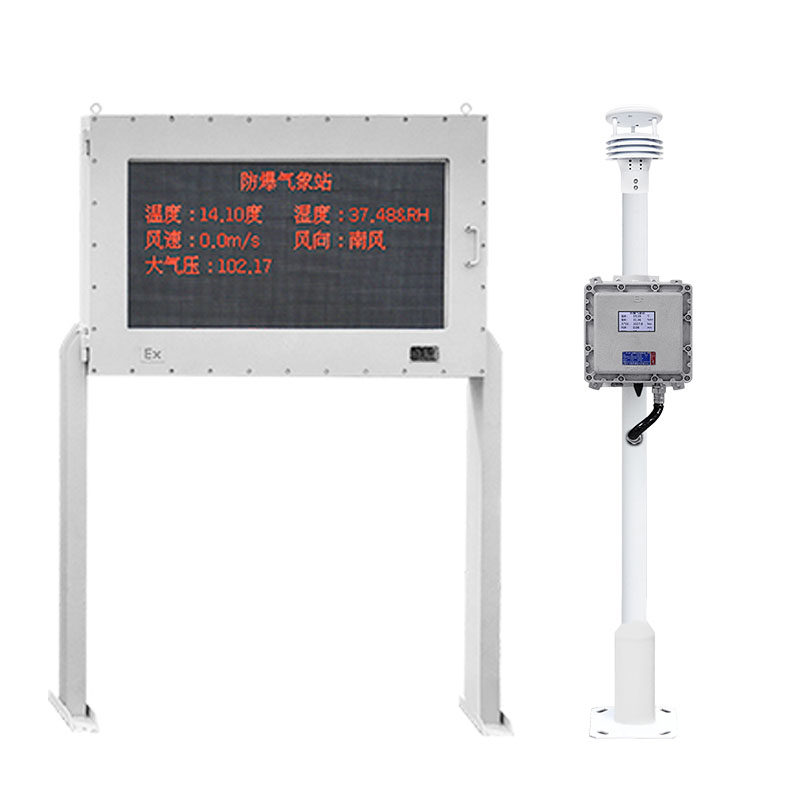
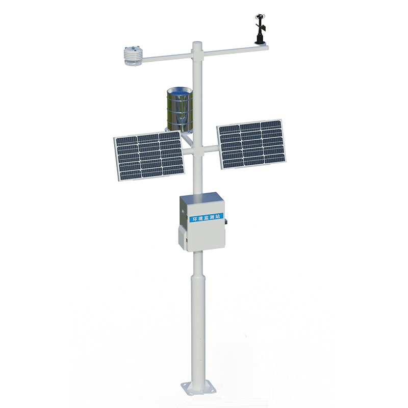
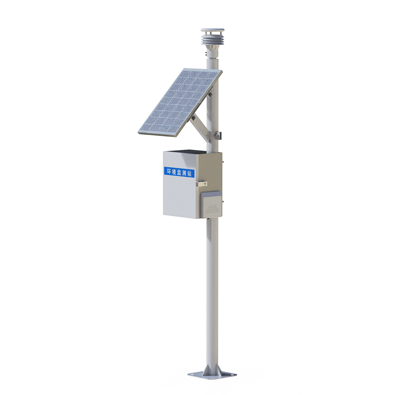
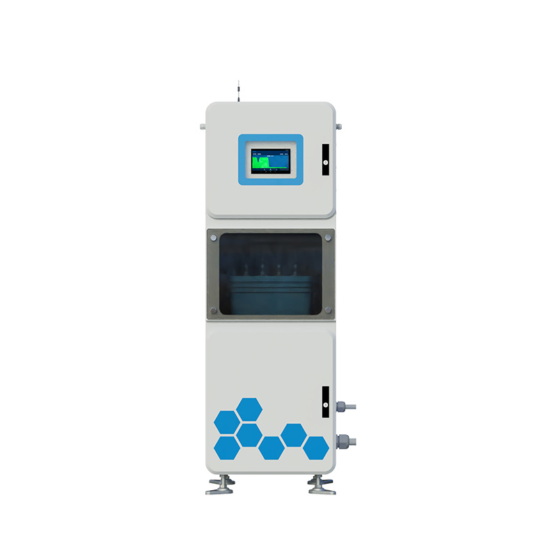
On the shimmering water surface, there is a special "mapping team" depicting the outline of the underwater world with sound waves. They are not divers, but they understand the undulations at the bottom of the water better than anyone else. They have no eyes, but they can "see" every inch of underwater terrain through the reflection of sound waves. This is the depth sounder, an indispensable "underwater painter" in modern hydrological surveying.
The most ingenious feature of the WX-CS150+ depth sounder lies in its "acoustic vision". When ultrasonic pulses are emitted from the transducer, they have already begun to listen to the echo of the water. When sound waves encounter the bottom of the water and are reflected back, they can immediately calculate the precise distance. This "sound instead of eyes" technology has enabled water depth measurement to leap from the traditional vertical line era into the electronic era. The measurer no longer needs to worry about rope entanglement or loss of heavy objects. With just simple operations, reliable water depth data can be obtained.
In the complex hydrological environment, the depth sounder has demonstrated astonishing adaptability. They can be used in rapid rivers as well as on calm lakes. It can penetrate turbid water and also work in clear seawater. This characteristic of "adapting to water" makes them the most reliable recorders of water depth, capable of handling both channel surveying and reservoir inspection.
Modern depth sounders are becoming more "intelligent". They can not only measure the water depth at a single point, but also continuously map the underwater terrain. It can not only work independently but also cooperate perfectly with the positioning system. When underwater obstacles are detected, they will automatically mark the dangerous area. When abnormal terrain is detected, they will prompt key survey locations. This ability of "independent thinking" makes underwater surveying work more efficient and accurate.
For water conservancy workers, these depth sounders are like considerate "underwater guides". They do not interfere with the aquatic ecosystem, but they always keep an eye on the changes underwater. They do not take the initiative to speak out, but they use precise data to ensure the safety of each survey.

Article address:
http://m.0757gl.com/en/article/1705.html


 Home
Home phone
phone Product Overview
 Contact Us