In today's society, geological disasters occur frequently, which not only threaten people's life and property safety, but also cause great damage to the natural environment. In the face of this serious challenge, the progress of science and technology has provided us with a powerful tool - GNSS surface displacement monitor.
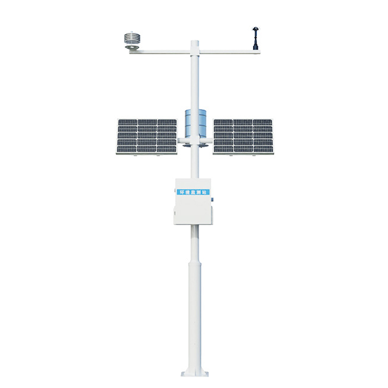
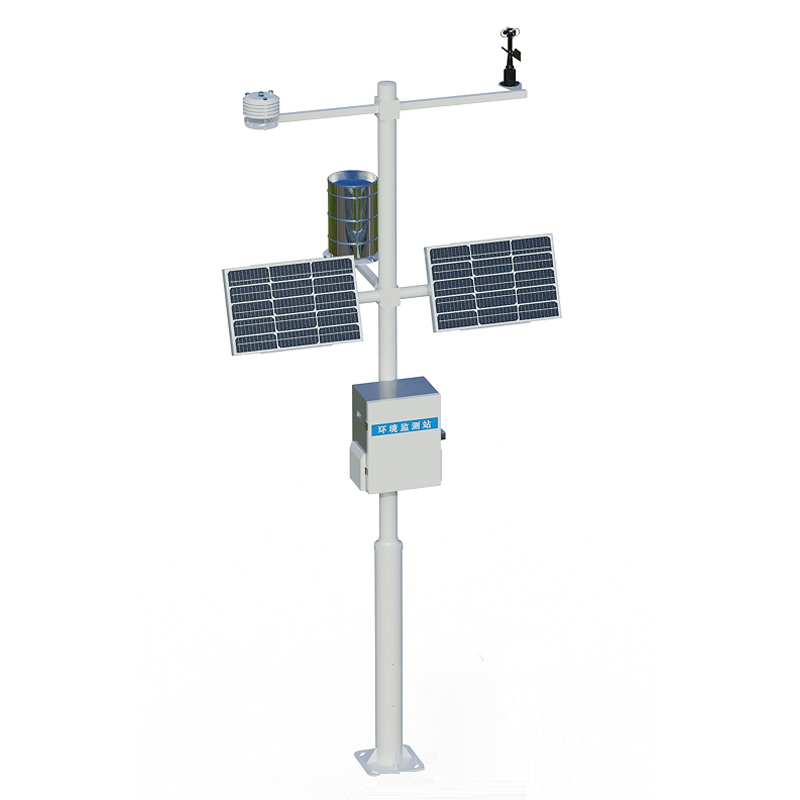
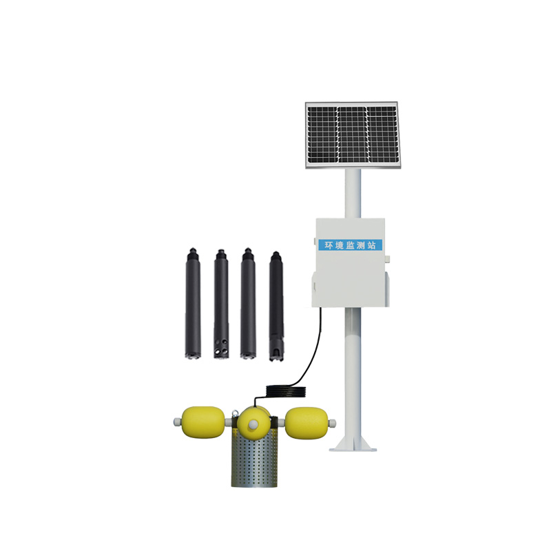
The WX-WY1 GNSS Surface displacement Monitor is positioned through Global Navigation Satellite Systems (GNSS), enabling millimeter-level and even sub-millimeter-level monitoring of surface displacement. This high-precision measurement capability enables the monitoring station to capture small changes in the surface, providing reliable data support for the early warning of geological disasters. Whether it is a landslide, debris flow or ground collapse, GNSS surface displacement monitors can detect and issue early warnings to help relevant authorities and people take precautions in advance and minimize disaster losses.
The occurrence of geological disasters is often sudden and unpredictable, so real-time monitoring is particularly important. GNSS surface displacement monitor realizes real-time monitoring of surface displacement by continuously receiving satellite signals. This real-time monitoring capability ensures the immediacy and accuracy of monitoring data, enabling relevant departments to respond quickly and take effective measures to deal with potential geological disaster risks. In addition, the monitoring stations are equipped with advanced data processing and analysis software, which can automatically identify abnormal changes and issue early warning signals, further improving monitoring efficiency and accuracy.
Traditional geological hazard monitoring often needs a lot of manpower input, which is not only time-consuming and laborious, but also difficult to ensure the continuity and accuracy of monitoring. The GNSS surface displacement monitor has the characteristics of automation and intelligence, and can automatically monitor the geological disaster without manual intervention. This automatic and intelligent monitoring system not only greatly improves the monitoring efficiency, but also reduces the manpower burden, making the monitoring work more convenient and efficient.

Article address:
http://m.0757gl.com/en/article/1233.html


 Home
Home phone
phone Product Overview
 Contact Us